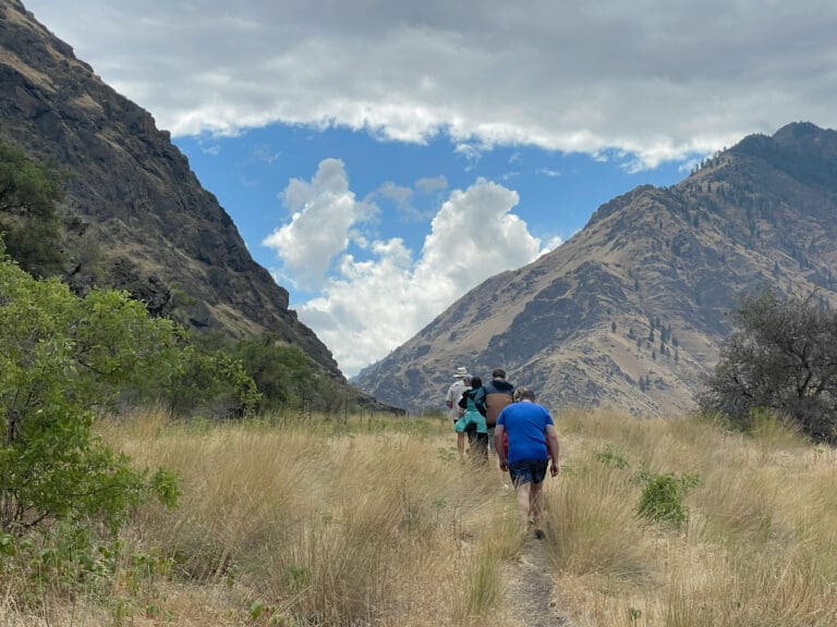
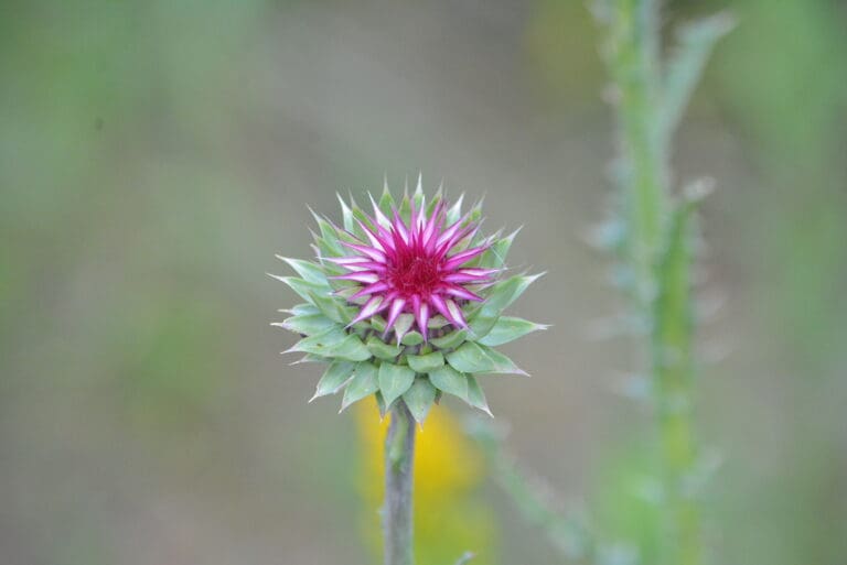
The South Fork of the American River includes pieces of conserved land, creating a haven for an array of wildlife. Throughout the river banks you can find an impressive assortment of trees and other brush species including various oaks, the California Buckeye, multiple willow species, and the White Leaf Manzanita, elderberry shrubs, Himalayan blackberry, and California wild grape.
In addition to it’s plant life you can diversity sustains a thriving community of animals that call the South Fork of the American River corridor home. The area supports a remarkable 117 bird species, including majestic Ospreys and the rare Bald Eagle, soaring through the skies.
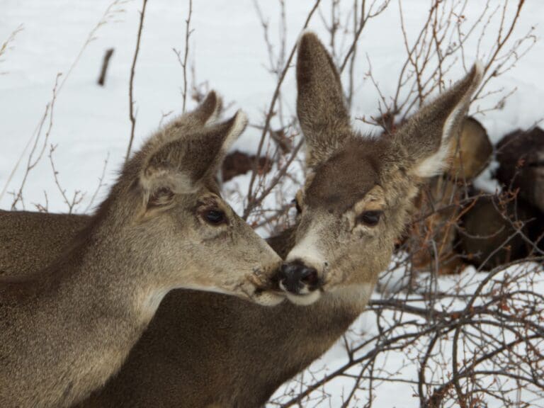
Mammals are equally abundant, with inhabitants ranging from the common coyotes, grey foxes, and mule deer to the more elusive black bears, bobcats, and playful river otters, adding an element of intrigue for nature enthusiasts. Beneath the water’s surface, a vibrant aquatic world unfolds, hosting species like rainbow trout, Sacramento pike minnow, and the delicate pacific tree frog. The biodiversity extends to amphibians, with Gilbert’s skink adding to the fascinating array of creatures that thrive along this vital watercourse. As a sanctuary for both flora and fauna, the conserved land along the South Fork of the American River stands as a testament to the importance of preserving and protecting natural habitats for generations to come.
In 1848, the course of world history took a dramatic turn when the South Fork of the American River, specifically the town of Coloma, yielded California’s inaugural gold discovery at Sutter’s Mill. This momentous event set off the famed California Gold Rush of 1849, regarded as one of the most significant mass migrations for a singular purpose since the Crusades. It is estimated that 90,000 people from all over the world emigrated to California in 1894 alone! However, as the easily accessible gold dwindled, the mining landscape underwent a transformation, marked by the proliferation of hydraulic pumps that left an environmental legacy.
The exuberant pursuit of gold took its toll on the South Fork, leading downstream communities to voice their grievances about the ecological aftermath caused by the miners. Consequently, mining operations were eventually halted. Today, remnants of this historic era endure in the form of massive trenches carved by the miners over 150 years ago.
Human intervention has shaped the river’s path in other ways, with three major dams—Slab Creek Reservoir (built in 1967), Chili Bar Reservoir (built in 1964), and Folsom Lake Reservoir (built in 1955)—controlling its natural flow. The South Fork meets up with its Northern counterpart in Folsom creating a vast reservoir and together they continue on to join the Sacramento River, before flowing out into the Delta and the San Francisco Bay to mingle with the vast waters of the Pacific Ocean.
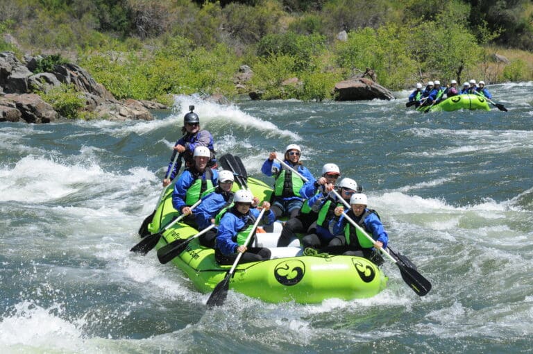
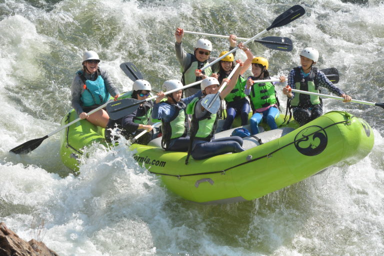
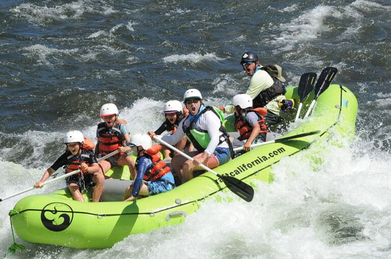
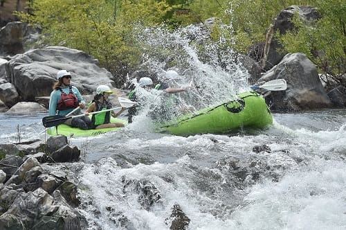
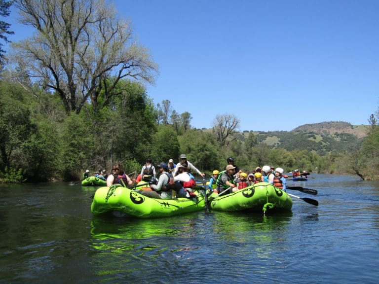
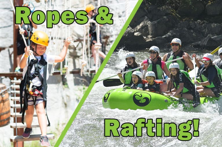
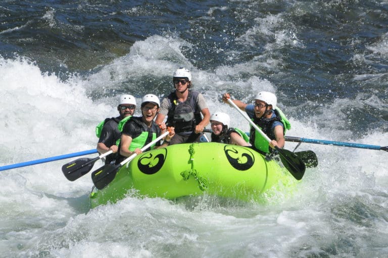
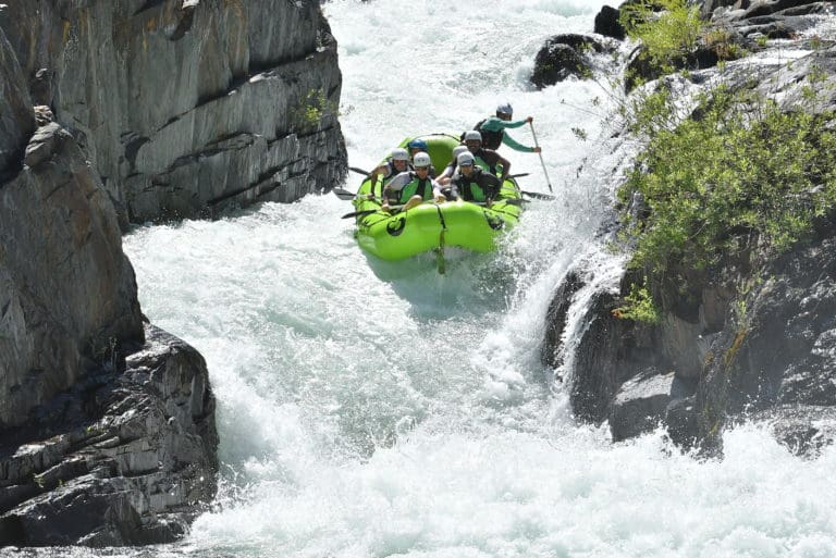
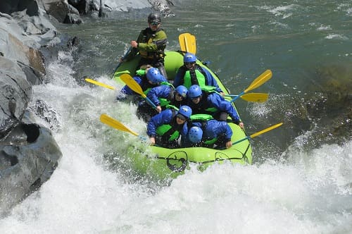
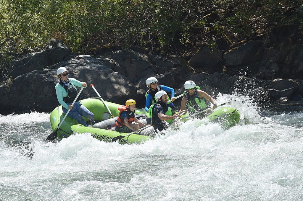
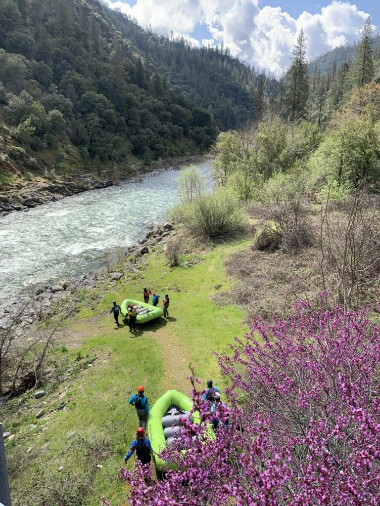
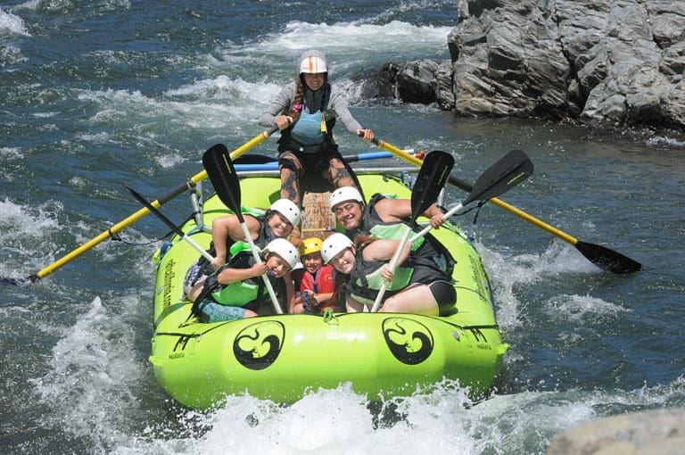
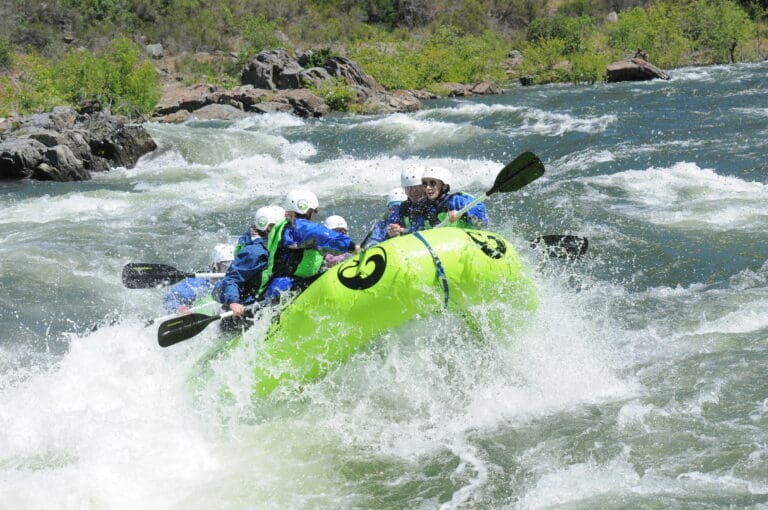
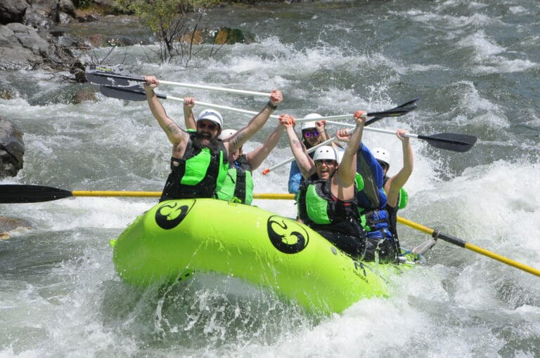
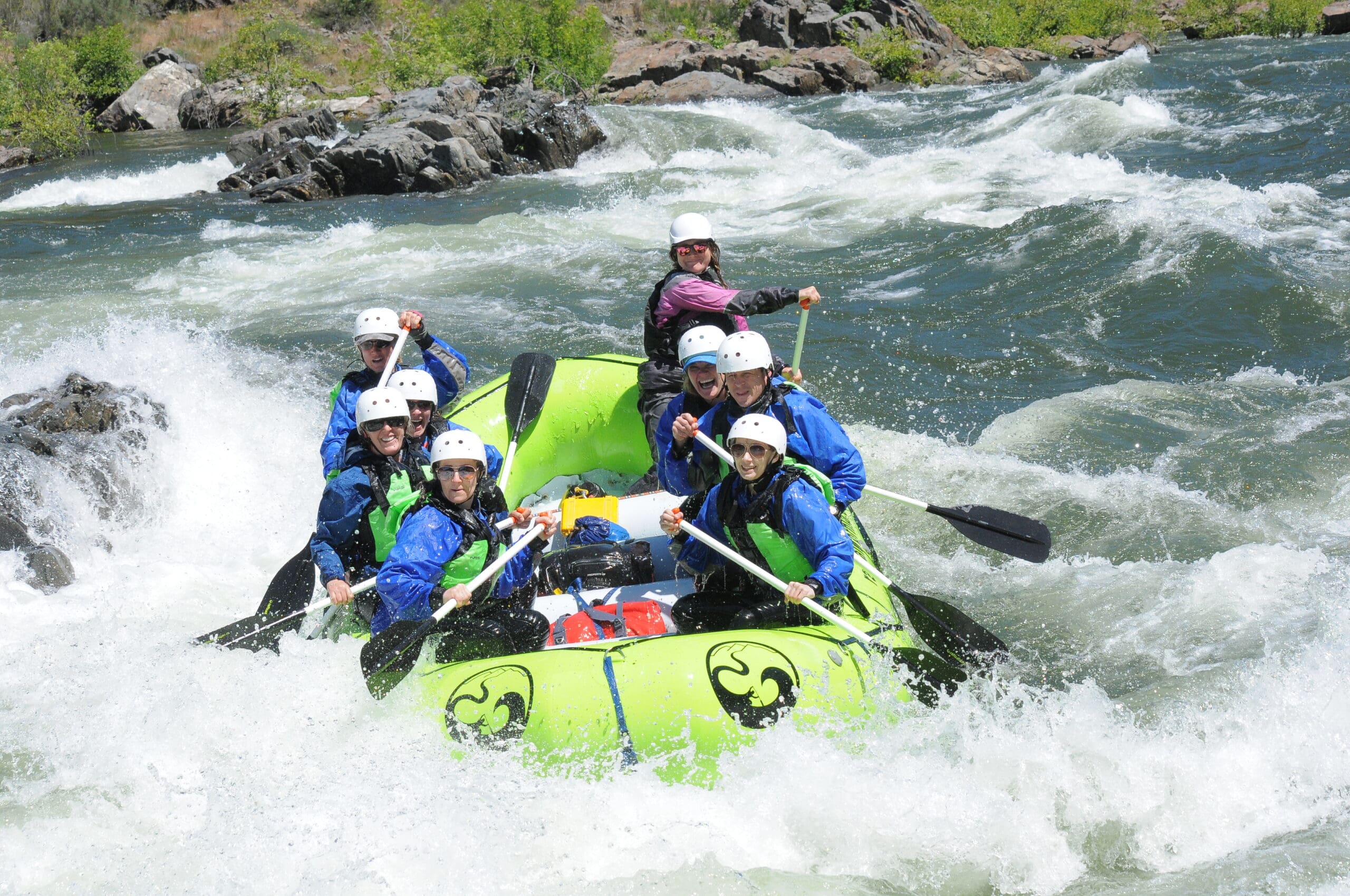
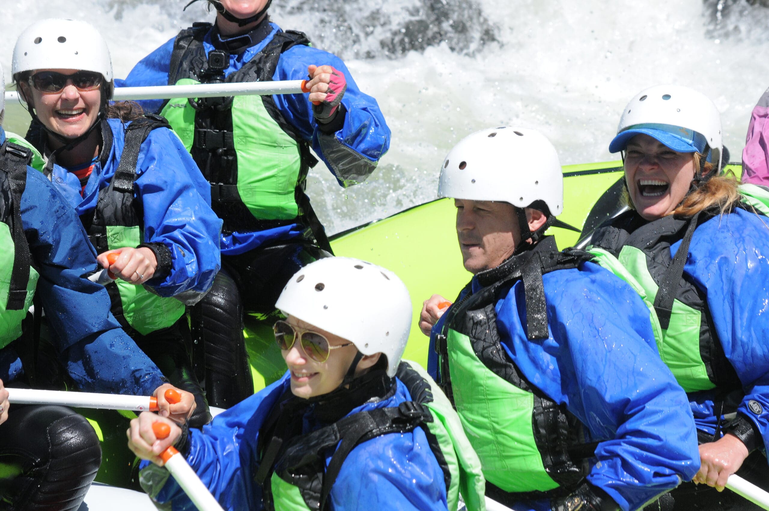
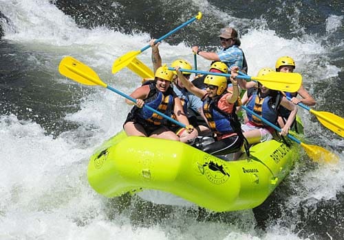
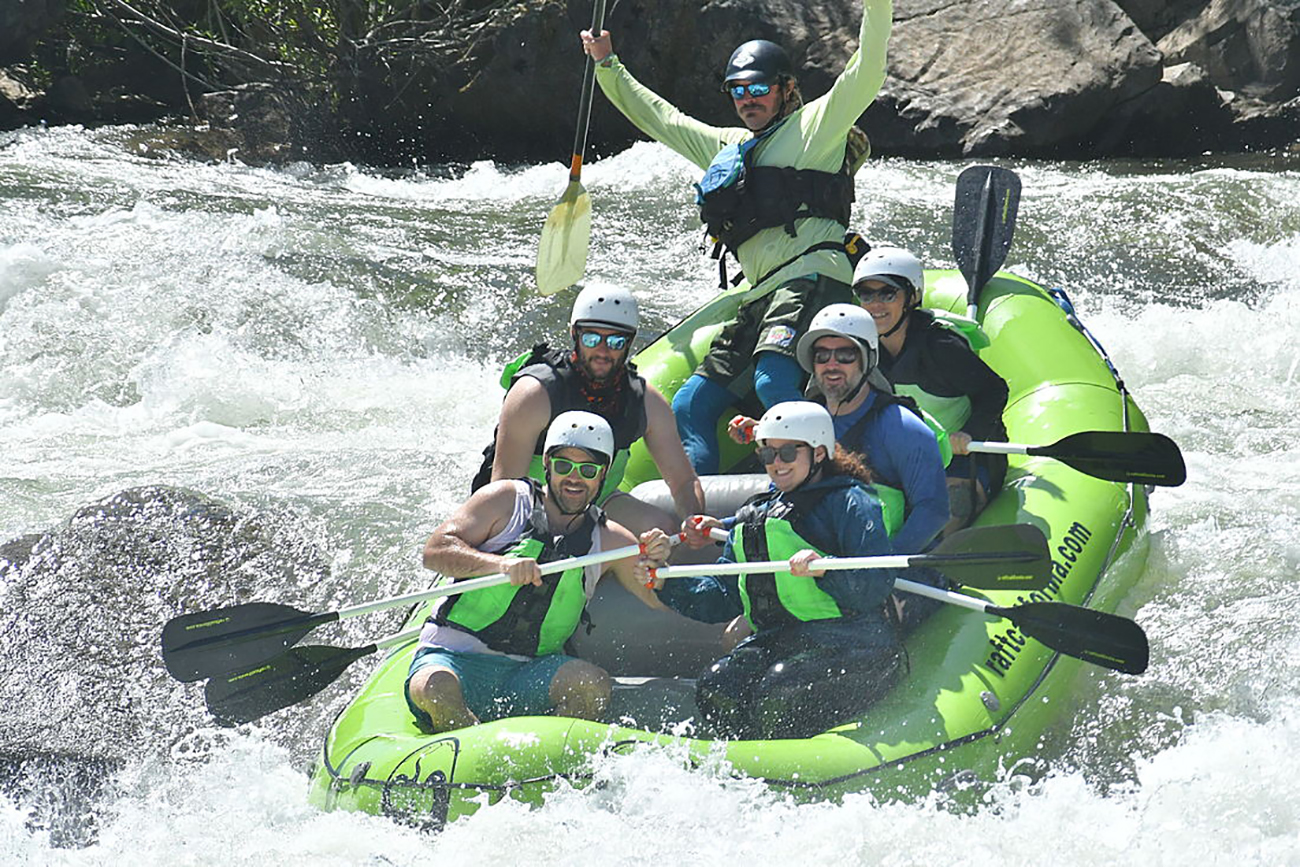
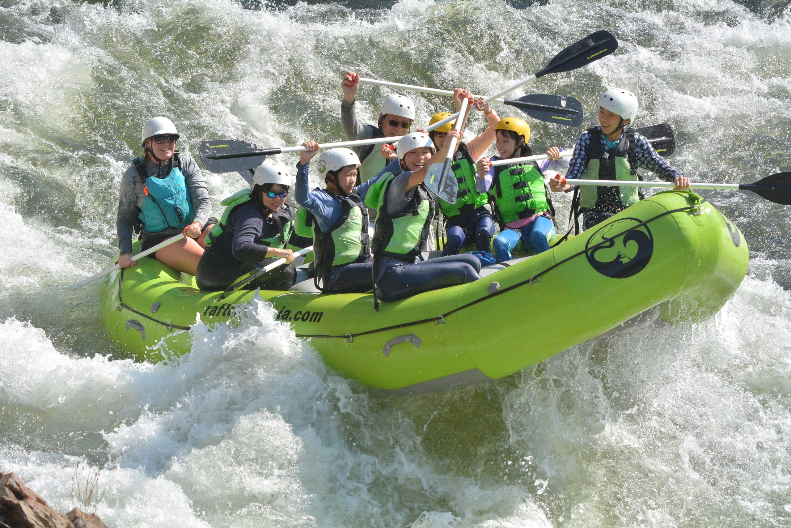
River rafting started on the South Fork American River in the 1960s and became a popular recreation activity in the 1980s and 1990s. Today the South Fork of the American river is one of the most rafted rivers in the United States, with over 100,000 commercial rafting guests annually and an untold number of private boaters, kayakers, and tubers.
Thanks to efforts by organizations like Friends of the River, American Whitewater, California Outdoors along with the American River outfitters and local advocates Bill Center and Nate Rangel, the Federal Energy Commission relicensing of the Upper American River Project and Chili Bar Hydroelectric Project included mandatory recreational water release flows. Meaning that even in drought conditions the South Fork of the American River will always have boatable water all summer long for guests to enjoy.
For those interested in exploring the region or delving into the rich history of the river and the Coloma-Lotus Valley, a valuable resource is the Coloma Valley website. Don’t miss the opportunity to visit and learn more about the captivating tales embedded in the landscapes and waters that played a pivotal role in shaping California’s history.


